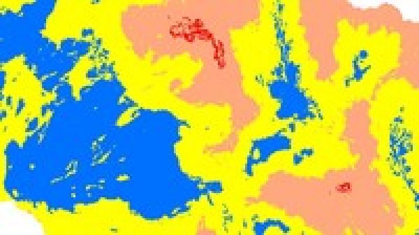
Groundwater Potential Zones GIS – Complete Project ArcGIS
$39.99 $18.99Track price
This course covers everything from basic to final results. It starts from Google Search data Download and process data till last result. it also covers the use of available online data sources to prepare Groundwater. It covers all Practical aspects till final results. Only you need to have land use map ready before starting of this course. Rest of things covered in this course from basic. You no need to go anywhere outside of you room to run this project. But if you have observation data then you can generate fluctuation map also, that is optional part of this project. By using GIS it is also possible to generate groundwater maps without groundwater data also. But this data is not easily available. So, while performing groundwater potential zone analysis we not used observed data it is optional. Observed data covered in other section of this course for fluctuation map analysis. The data, which used for Groundwater analysis, same data can be used for other analysis also, like Flood risk, Drought prone area analysis. So this analysis are also performed in this course. Because data is same just difference of value. You will also learn data plotting. This project also covers watershed Delineations. If your study area is not watershed, just use study area boundary and skip watershed delineation. Therefore, it covers more than it specified. You by taking this course you not only learn groundwater, you will learn many more advanced task of GIS also, Like DEM mosaic, Data Re–Project , Cutting of study area, soil map generation etc. Therefore, This is complete project from scratch. Feel free to ask me question in Q&A Section. I assumed you know very basic of GIS to perform this analysis. This is Expert level work.
Instructor Details
Courses : 2
Specification: Groundwater Potential Zones GIS – Complete Project ArcGIS
|
15 reviews for Groundwater Potential Zones GIS – Complete Project ArcGIS
Add a review Cancel reply
This site uses Akismet to reduce spam. Learn how your comment data is processed.
| Price | $18.99 |
|---|---|
| Provider | |
| Duration | 4 hours |
| Year | 2019 |
| Level | Expert |
| Language | English |
| Certificate | Yes |
| Quizzes | No |

$39.99 $18.99




Shekhar Saini –
Good course coverage. Very helpful in Research. Good to see some more topic on GIS to enhance my skills.
Linda Abegunde –
I have learnt a lot
Dwoki Justin Sam –
Amazing course!
YUVARAJ R M –
not include other parameter for identifying ground water potential
Mariusz Uzdowski –
The whole training/course is not bad however the language skills could be better and improve. Sometimes I didn’t understand some steps or explanations.
David Arthur –
Very informative and easy to understand. Goes at a good pace to follow along. I recommend for anyone interested in hydrology functions.
Raj . –
Great application based course. Liked the work. Please keep posting such great courses!
Eric Wilson TEGNO NGUEKAM –
Ce cours tait tr s bien structur et les explications tr s claires. Il m’a permis d’acqu rir des connaissances que j’ai longtemps rechercher, savoir la mod lisation des sites potentiels d’eau souterraines. C’est un cours vraiment int ressant.
Alfayo Koskei –
The course is awesome, very useful for research fellows. I really found a lot of help from the course
Ivan Taslim –
Sebelum memulai kursus ini, pengetahuan saya mengenai GIS sangat terbatas. Dengan pelajaran yang saya dapatkan di kursus ini, saya sudah seperti expert.. Thanks
Md. Abidur Rahman –
Thank you sir for your insight & skill on this topic. Hope full that I will be able to publish some research work based on the skill I have gathered from this course.
Gowri Karuppusami –
very good and friendly explanation. i thank to you
Jonathan Hadayat Lees –
very quiet, poor sound quality, poor english which all contributed to a often confusing course. the ideas presented were interesting though and i have learnt some things so not the worst.
Saramadie Thorlu–Bangura –
it is a good course and it’s really wetting my appetite towards my expectations
Saramadie Thorlu Bangura –
it is a good course and it’s really wetting my appetite towards my expectations