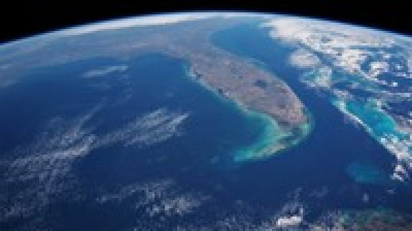
This is first landuse landcover course on udemy the most demanding topic in GIS, In this course I covered from data download to final results. I used ERDAS, ArcGIS and ENVI. I explained all possible methods of land use classification. More then landuse, Pre–Procession of images are covered after download and after classification, how to correct error pixels are also covered, So after learning here you no need to ask anyone about lanudse classification. I explained theoretical concept also during processing of data. I have covered supervised, unsupevised, combined method, pixel correction methods etc. I have also shown to correct area specific pixels to achieve maximum accuracy. Most of this course is focused on Erdas and ArcGIS for image classification and calculations.For in depth of all methods enroll in this course.
This course also include accuracy assessment report generation in erdas.
Note: Each Land Use method Section covers different Method from beginning, So before starting landuse watch entire course. Then start land use with method that you think easy for you and best fit for your study area., then you will be able to it best. Different method are applicable for different type of study area. This course is applicable to Erdas Version 2014, 2015, 2016 and 2018.
Instructor Details
Courses : 2
Specification: Land use Land cover classification GIS, ERDAS, ArcGIS, ENVI
|
9 reviews for Land use Land cover classification GIS, ERDAS, ArcGIS, ENVI
Add a review Cancel reply
This site uses Akismet to reduce spam. Learn how your comment data is processed.

| Price | $18.99 |
|---|---|
| Provider | |
| Duration | 5 hours |
| Year | 2018 |
| Level | All |
| Language | English |
| Certificate | Yes |
| Quizzes | No |

$39.99 $18.99



Chowdam Venkata Sudhakar –
The course is very helpful for beginners .
Dwoki Justin Sam –
IT HAS BEEN VERY NICE TAKING THIS COURSE. ALL THAT I WANTED HAVE BEEN COVERED HERE. THANKS SIR!
Meena Kumari Kolli –
I think the course is an amazing opportunity for students to learn land use land cover at an advanced level with accuracy.
James Oleyiblo –
I got what I wanted from the course.
Mahesh M Ahire –
Practical Oriented.Research Approach.Very Good.
Alfayo Koskei –
The course is awesome, though most classification is done using Erdas and not ArcGis as I though since I don’t have ERDAS software I cannot follow the videos well. But it is really educative.
Md. Abidur Rahman –
Thank you Sir for creating such an informative, practical Remote Sensing Online Tutorial. I am pretty amazed with your easily understandable lectures and video presentation. I had novice knowledge on Land Use and change detection using ERDAS IMAGINE and ArcMAP. But After going through your tutorial, now I feel , I have discovered some tools which were hidden to me before. Thank you .
Sahil Bhowate –
YES , I AM LEARNING NEW THINGS.
Vikas Kamal –
best effort by lakhwinder singh ji…hats off to you…