Welcome to the Creating Smart Maps with Python and Leaflet Windows Version course. We’ll be building a python GIS application from scratch using a variety of open source technologies. The purpose of this course and many more to follow, is to learn to create geospatial analytics and convert it into a functional application.
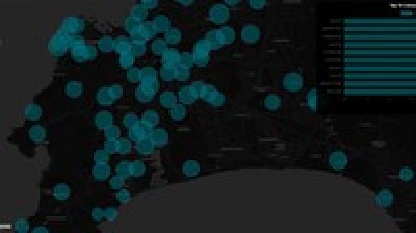
In our use case we will be working with residential water consumption data and we will be applying data processing techniques to extract transform and load the data into our spatial database. Once we have processed and cleaned the data, we will use it as a data source for building our GeoDjango Web Map Application.
We will be powering our application with a PostgreSQL and PostGIS database. In the Front–End we’ll use Bootstrap, JavaScript, Leaflet and Ajax. On the server side we’ll be using Python and Django combined with use of scientific libraries like pandas, for our data transformation and conversion operations. The operating system that we will be working on is Windows 10 and Server 2016.
Some skills that you can expect to derive after completing the course are the following:
You will learn how to build a Spatial Database using Postgresql and PostGIS.
Specification: Creating Smart Maps with Python and Leaflet Windows Version
|
User Reviews
Be the first to review “Creating Smart Maps with Python and Leaflet Windows Version”
| Price | $12.99 |
|---|---|
| Provider | |
| Duration | 3.5 hours |
| Year | 2021 |
| Level | All |
| Language | English ... |
| Certificate | Yes |
| Quizzes | No |

$12.99


There are no reviews yet.